.gif) |

.gif)
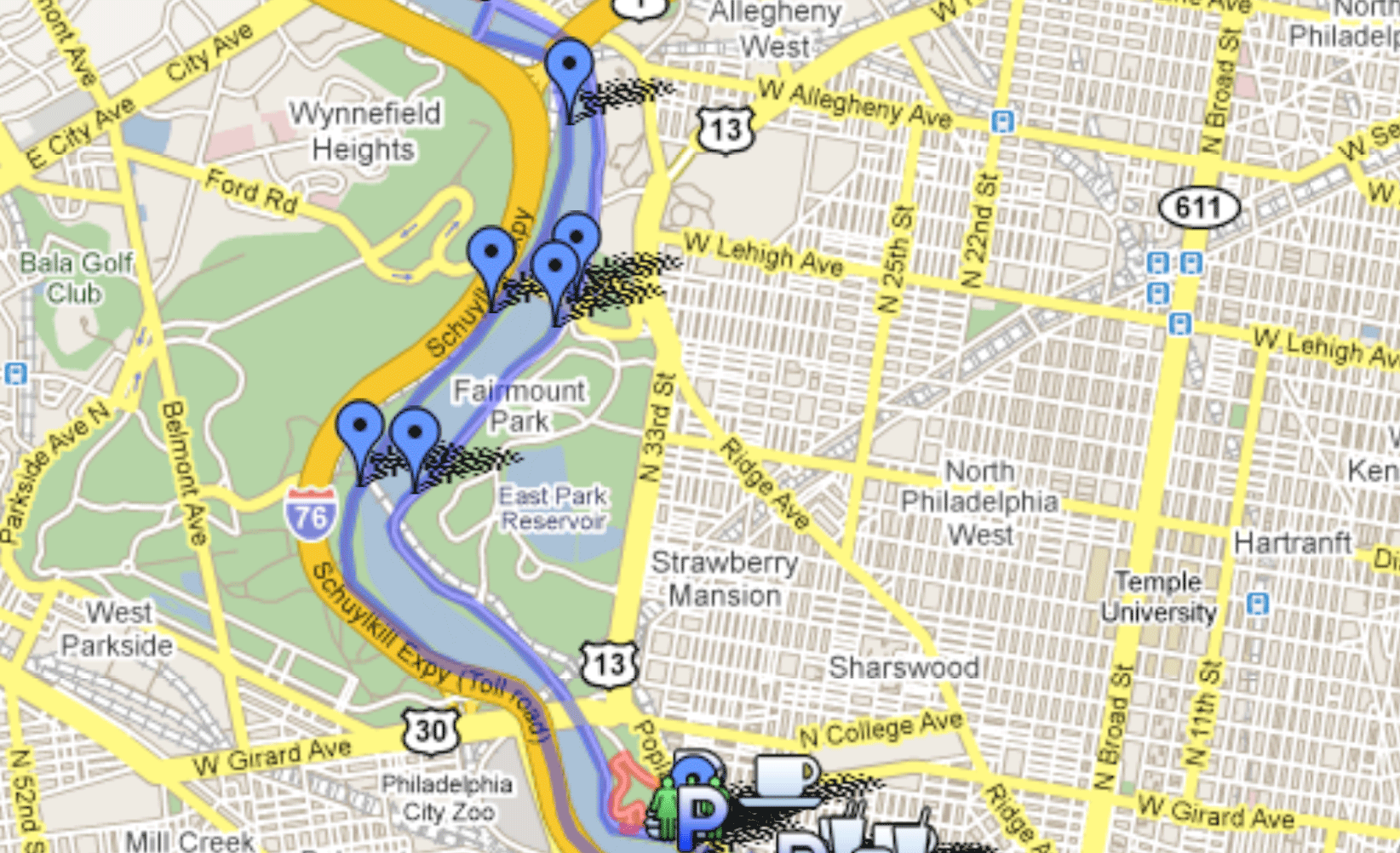
Favorite Running Routes The loop in Valley Forge happens to be one that I like. Its about a six mile loop in Valley Forge National Park past historic landmarks and rolling hills. Great for walking, biking, running. More hills than in Center City. If you have a car or are willing to spend the time on Septa (BUS 124 or 125, not sure which), its a great run! Valley Forge "hills" on the Western side of the park (as well as the creek) - a loop of Mt Misery and Mt Joy is a nice 4-6 mile trail run Rittenhouse Square Speed workout loop Rittenhouse Square (1 lap = 0.35 miles) makes for a good speed workout when Franklin Field is closed. Ben Franklin Bridge at night with the lights on is beautiful. Tyler State Park, Bucks County Tyler State park up in Bucks county is also a great place to run. It’s a great place to work hills. The loops can be mixed and matched to give you a variety of distances. Also Bucks County Road Runners holds a winter race series there on Sundays starting in Decemeber. Don’t run the first seven miles, these go through Center City and along the Delaware River and are very congested when they are not blocked off. They are flat and relatively easy. Well worth driving over, but dont run them. The start of the PM is in front of the Phila Art Museum (you should also put viewing Rocky I in your training schedule). With the "Rocky Steps" to your back, you are at the approximate start of the race. Instead of going straight down the Ben Franklin Parkway (in the direction of the tall Center City buildings), turn right from the steps, along the street (Spring Garden), cross at the first crosswalk and go under an overpass. Once you are on the other side, across the street, just before you hit the Schuylkill River, you'll see a bike path. This paved path along the river is not on the marathon route, but take it south (towards Center City and away from the museum). Go down about a half mile and you'll see a combination of steps/ramp connecting the bike path to two bridges that span the Schuylkill. Go up the Chestnut Street bridge (the second, southmost bridge) to street level. You are now at about mile 7.5 on the marathon course. Turn right onto Chestnut Street and cross the river. You will then be in West Philly. Go up Chestnut St. to 34th Street (clearly marked), and turn right onto 34th. This starts about a 2-mile portion of rolling uphill that is the most challenging part of the course and is one that you should get familiar with. You will continue up 34th Street for about a mile and a half, you will go by the zoo on your left, and at the far end of the zoo you will hit a big intersection with Girard Ave. Go straight through the intersection (carefully) and continue. The road is no longer 34 St, but Lansdowne Ave. You will go past a stop sign and veer towards the LEFT and go uphill. At the top of the hill, make the first right. You are now in the middle of Fairmount Park, the largest urban park in the US. You will head towards a grand Civil War memorial that spans both sides of the street, but at the stop sign just before this memorial you will make a right and then your second right onto Black Road. Be careful here, as this is tricky to navigate. This will also cut out part of mile 9, mile 10, and part of mile 11 of the PM course which take you through the Botanical Garden and is usually inaccessible. The part you miss is all flat or downhill, which you'll be glad for in the marathon after running the previous uphill miles. Black Road (the one you're taking for this training run) will be a steep downhill that will take you under a bridge and onto Martin Luther King Drive (aka West River Drive). Make a right (also crossing the street and running on the bike path that runs alongside MLK/WRD) and run along the Schuylkill for about 2 miles, with Boathouse Row, a Philly landmark, on the other side of the river. Keeping on this will take you back to the Art Museum. Go back around the FRONT OF THE Art Museum, staying on the bike path that runs along Kelly Drive. This is a popular running/biking/skating route and you'll take this for about 4 miles until Falls Bridge (the first time in a long time you'll actually have to cross a street at an intersection). Stay straight and continue up Kelly Drive. You will stay by the river and the road will turn right. This is for about 3/4 miles. Then you'll hit a cross street and turn LEFT. Keep to the LEFT and you will be on Main Street in the Manayunk section of Philadelphia. Keep going up Main Street (this will be a slight uphill that will feel much worse during the marathon) and run until you hit Gay Street (I'm not sure if this is the exact turnaround, but its close). This will be mile 20 in the actual marathon, where you basically turn around and head back to the Art Museum. For the purposes of this run, you will retrace your steps. In the actual marathon, there is one annoying little alteration at about mile 21.5 of the course where you'll have a short uphill on an on-ramp, but you'll skip that here due to traffic safety reasons. So go back down Main Street, after Main Street ends make a sharp right and go back down Kelly Drive. I emphasize, you're retracing your steps from when you came up. That gives you 18.5 miles. Route is mapped out here: http://www.gmap-pedometer.com/?r=375039 Kelly Drive/West River Drive Loop plus Forbidden Drive in the Wissahickon (To add on an extra 1.3 (or 2.6) miles or so to this route, start at Locust St. Donut (25th and Locust) , rather than Lloyd Hall). Park at Lloyd Hall, the unofficial beginning of many running routes in Philly. It is the last "boathouse" (not really a boathouse) if you are coming in to town on Kelly Drive, the first boathouse if you are leaving town. Start running out of town. The East Falls Bridge will come up in about 3 miles, it is the only one at street level. To get to Forbidden Drive, keep going (don't cross the bridge) until Kelly ends. Zig left across the Wissahickon Creek, and then right across Ridge Ave. You will be on a little path that goes up and down and then comes to a little parking lot. This is the head of Forbidden Drive (on your left). Go out on Forbidden Drive and keep going as long as you feel. Come back the same way, then cross the East Falls Bridge, run into town on the other side of the river on West River Drive, circle around the art museum and come back to your car. Mileage (rough): Lloyd Hall to Falls Bridge: 3.5 miles Instead of crossing Ridge Ave at the end of Kelly Drive, you could also follow the Schuylkill River and Ridge Ave and go into Manayunk on Main Street (bear left off of Ridge shortly after crossing the Wissahickon) and then get on the tow path (run in to downtown Manayunk and then go left towards the water, there are some signs, then take a right and continue heading out of town on the tow path), which goes all the way out to Valley Forge (and beyond) (round trip 44 miles to Valley Forge Park and back), but it is not nearly as scenic. If you want to do this run one way and then take the train back in, here's how to get to the train station: A right turn on Northwestern Ave (or Bell's Mill) will take you to Germantown Ave almost immediately (although it involves running up a steep hill). A right on Germantown off of NW ave brings you back to both Chestnut Hill train lines. The closest train station is the Chestnut Hill West Station at the end of the Chestnut Hill West line. It is located at Germantown Ave & Evergreen Ave. It is about a mile or 1.5 miles maybe from NW Ave & Forbidden Drive. A way to lessen that would be to run out to Bell's Mill instead of NW ave, take a right there, a right on Germantown, you'll hit the station pretty quickly. (Here's a map of this route) Arch Street West to Schuylkill River Path My three mile lunch run is west on Arch Street. Run west on Arch to 23rd Street, turn right to go North a couple blocks to Race Street. Turn left on Race which will take you to the river trail (don't try getting on from Arch - Race Street is the only street with grade level access). Once on the river trail, either run to your left to Locust street where the trail terminates or to your right past the Art Museum and the Waterworks to Lloyd Hall where there are bathrooms and water fountains. The Waterworks is the more scenic route but a litle longer. Then run back and you should get between 3 and 4 miles. Germantown Friends in East Falls. Roxborough HS plus St. Josephs University & UPENN. Penn Charter in East Falls: The track is open to the public at 6:45 pm during the week. You may be able to get on before then but most nights there's an elementary/middle school practice going on until 6:45. (map) Chestnut Hill Academy also has a track that is open during daylight hours. I know it is available on Tuesday night but I am not sure about the rest of the week. I've also been on it before sunrise in the winter with no problems. Franklin Field track (route description by Kevin Gruenfeld): Older than the modern Olympics, older than the Boston Marathon, the University of Pennsylvania's 52,593-seat football stadium at 235 South 33rd Street opened in 1895 to host the first annual Penn Relays, the longest-running college and high school track competition in the world. It is the first two-tiered stadium in the nation and, according to the NCAA, the oldest stadium still hosting college football games in the USA. Both the nation's first radio (1922, WIP-AM) and television (1939, Philco) broadcast were from here. It was also the site of the nation's first scoreboard (1895). The Philadelphia Eagles played here 1958-1970. The Army-Navy football game has often been held here. Franklin Field was featured in M. Night Shyamalan's movie Unbreakable.
|
© Copyright 2017 Philly Runners |