Message Board/
Current Happenings


Safety Page

 Join us on Facebook

Join us on Strava

Follow us on Instagram


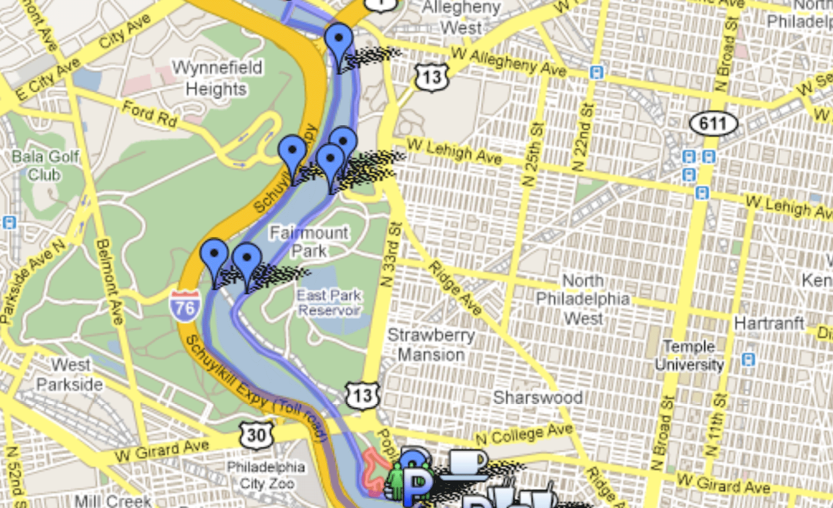
Maps of Start and Finish of Broad Street Run.

The map of the Finish area shows how to get from the finish to the picnic in FDR park.

Move around, zoom in, zoom out to see to see everything in detail.

The map may take 15-30 seconds to load. The Philly Runners markings take an extra 15-30 seconds to load after that.


Meet up on the South side of Somerville Ave, between Broad Street and Old York Rd. Take the Broad Street Line to Olney and then walk south on Broad Street. There is a curved pathway at this location on slightly higher ground. We'll be on or next to this pathway in the middle/top.

View Broad Street Start in a larger map.

To get to the picnic from the finish line, walk north on Broad Street from the naval yard. Cross under I-95, keep headed a bit further north until you come upon a small access driveway down to FDR park. Go down the driveway into the park. Take a left at the bottom of the driveway and follow the access road around until it is parallel to the highway. On a nice day, we'll be on the field on the right. On a rainy day, we'll be under the highway.

 If you're coming from Center City or the west, to get to the site of the picnic by car before the race, take I-76 and head for the airport (not the sports complex). Instead of crossing the Platt bridge to go to the airport, take a left on Penrose, a right on Pattison and a right into the park. Follow the access road around and park under I-95.

If you're coming from the south, take I-95 North, but get off I-95 and follow signs for I-76 West (but don't take I-76 West). Cross the Platt Bridge. At the bottom of the bridge, don't turn left to get on I-76 West. Go straight on Pennrose Ave and then take a right on Pattison and a right into the park. Follow the access road around and park under I-95.

View Broad Street Picnic in a larger map.

Written directions above map.


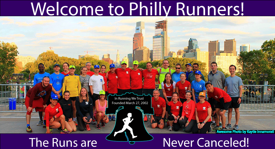
© Copyright 2017 Philly Runners
All Rights Reserved